The Single Source of Truth for European Spatial Threats
Aggregating fragmented institutional data into a unified, high-performance API and Vector Tiles for proactive crisis management.
THE CHALLENGE
Border Blind Spots in European Crisis Management
Fragmented Data Formats
National systems output CAP, GeoJSON, and XML — incompatible by design. No pan-European unified view exists.
Borders Stop Warnings
Early warning systems halt at state boundaries. Travelers, logistics operators, and businesses crossing borders receive no proactive alerts.
No Proactive Intelligence
Citizens and businesses react to disasters — they never anticipate them. The data exists; the aggregation layer does not.
THE SOLUTION
From Bureaucratic Chaos to Reliable Spatial Intelligence
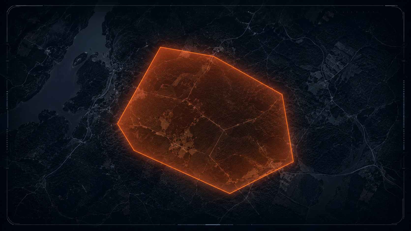
A purely backend data aggregator integrating Copernicus, MeteoAlarm, and U-Space into a standardized format. We deliver precise hazard polygons — not isolated point data — to prevent panic while ensuring accuracy.
WHO WE SERVE
Built for the Operators Who Cannot Afford to Be Wrong
Logistics & Insurance
Proactive damage prevention for fleet operators and commercial insurers. Automated traffic diversion and risk scoring before a threat materializes — averting millions in damages per event.
- ✓ Real-time polygon hazard zones
- ✓ API-first integration
- ✓ High-availability architecture
Emergency Services & Safety Apps
Point-in-polygon notifications for emergency responders and citizen safety platforms. Designed for platforms like NG-SOS / Záchranka and Windy — enabling smart, geo-fenced alerts at cross-border scale.
- ✓ Point-in-polygon detection
- ✓ Smart push notifications
- ✓ Cross-border coverage
DATA INTEGRITY
Built on Institutional Trust
We do not collect crowdsourced or unverified data. Every data point is machine-verified and sourced exclusively from certified institutional nodes — delivering machine-verified, disinformation-free spatial intelligence.
"No social media. No IoT scraping. Certified nodes only."
Get API Access or Partner With Us
Whether you're integrating spatial threat data into your product or exploring a partnership — we want to hear from you.
ivana@europeanumbrella.euTypically responds within 1 business day.